


Week 4
Climate and Heat Technologies
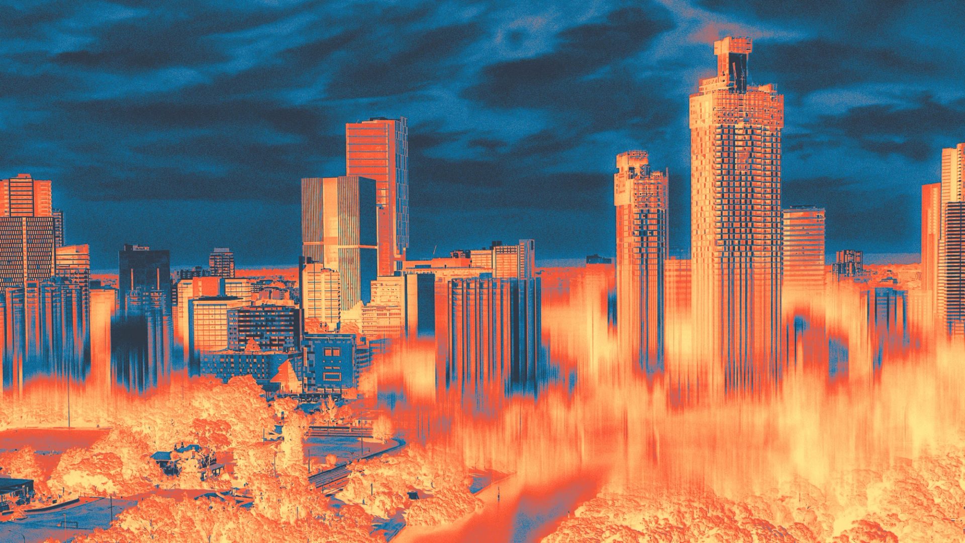
What is happening to Earth’s climate and how do we know?
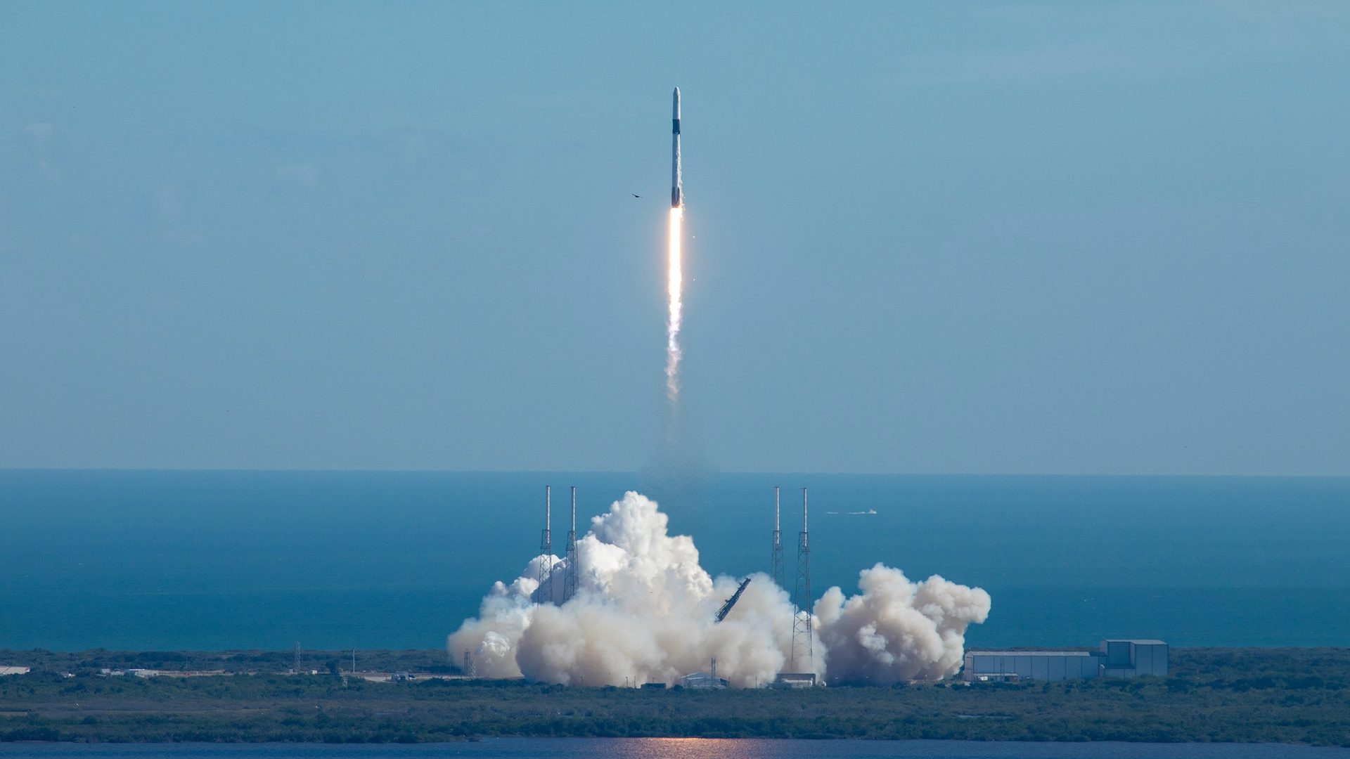
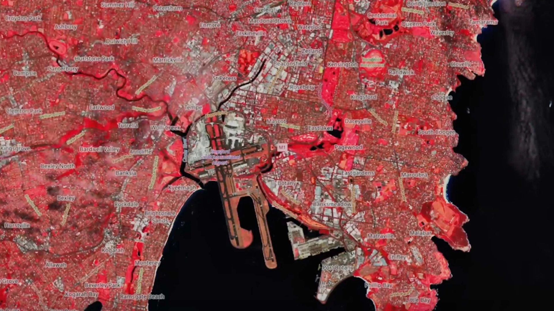
This week you will investigate and interpret climate and heat data from satellite imagery and aerial photography. You will examine technologies that allow you to capture this data and enable visualisation and measure Earth’s climate along with more local heat data. You will also learn how these technologies work to produce data and images. This will include an introduction to remote sensing and its uses.
‘The climate is changing and temperatures have been rising over the past few decades. These changes not only effect the environment but also can have an impact on human health, intensify environmental disasters and disrupt economies worldwide. How do we know this and how can we measure and track these changes? This is where technology comes in. The most important technologies that can help us to analyse the temperature trends are remote sensing and GIS (Geographic information systems).’
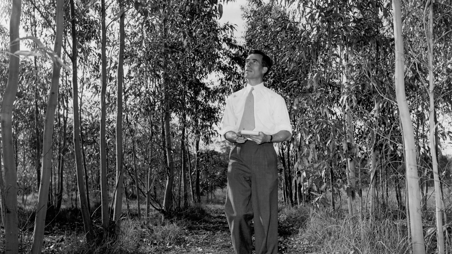
Climate and Heat Technologies with Dr Anna Azabdaftari
Dr Anna Azabdaftari introduces how we can use geospatial informational systems, including remote sensing and imagery via drones, airplanes and satellites, to understand our world and solve big questions.